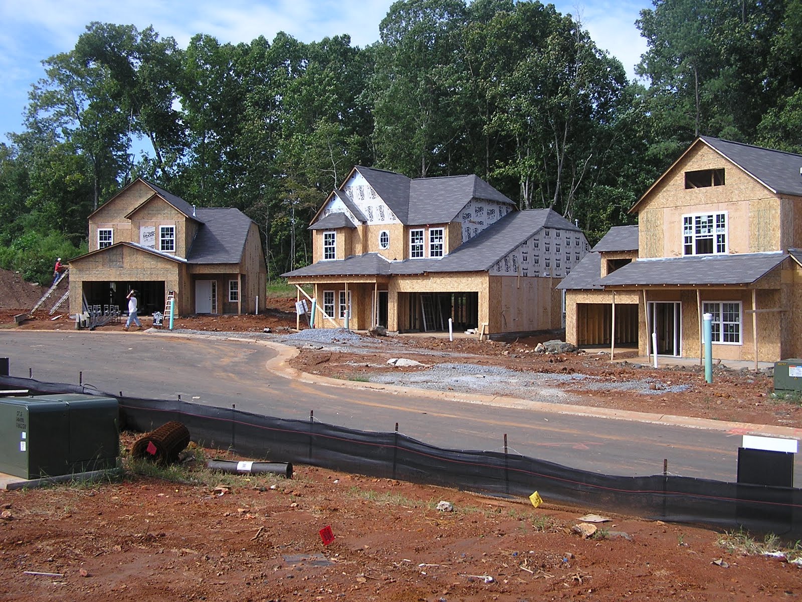
Land use and transportation policy co-determine the development of the urban fabric. Sprawling development changes the land use function by developing unaltered contiguous land into fragmented parcels. If uncontrolled and uninterrupted by geographic features, urban growth will continue along transportation arteries and expand outward, creating exurban development to the detriment of surrounding landscapes. The ability to measure sprawl provides an excellent management tool for planners and municipalities to monitor land use development. Municipalities can use this data to strategically implement alternative land use development policies and make projections for future development. Ewing et al. developed the most comprehensive method for assessing sprawl measuring twenty-two factors of development focusing on four major dimensions: density, mix, centers, and streets. Scores are pooled within these dimensions and averaged to create an overall index. The components of the index can be used as a scorecard assessing development trends. Municipalities can monitor development and implement urban containment policies to effectively preserve landscapes. Through continued monitoring, municipalities can later reassess development and critique tactics for harnessing sprawl. The ability to measure sprawl is necessary to implement policy driven strategies for harnessing unsustainable development.
Friday, November 12, 2010
A Summary - Landscape Preservation and the Containment of Urban Growth
Land use and transportation policy co-determine the development of the urban fabric. Sprawling development changes the land use function by developing unaltered contiguous land into fragmented parcels. If uncontrolled and uninterrupted by geographic features, urban growth will continue along transportation arteries and expand outward, creating exurban development to the detriment of surrounding landscapes. The ability to measure sprawl provides an excellent management tool for planners and municipalities to monitor land use development. Municipalities can use this data to strategically implement alternative land use development policies and make projections for future development. Ewing et al. developed the most comprehensive method for assessing sprawl measuring twenty-two factors of development focusing on four major dimensions: density, mix, centers, and streets. Scores are pooled within these dimensions and averaged to create an overall index. The components of the index can be used as a scorecard assessing development trends. Municipalities can monitor development and implement urban containment policies to effectively preserve landscapes. Through continued monitoring, municipalities can later reassess development and critique tactics for harnessing sprawl. The ability to measure sprawl is necessary to implement policy driven strategies for harnessing unsustainable development.
Thursday, November 11, 2010
LaHood puts Foot Down
The Ballet of the City Sidewalk
Under the seeming disorder of the old city, wherever the old city is working successfully, is a marvelous order for maintaining the safety of the streets and the freedom of the city. It is a complex order. Its essence is intricacy of sidewalk use, bringing with it a constant succession of eyes. This order is all composed of movement and change, and although it is life, not art, we may fancifully call it the art form of the city and liken it to the dance – not to a simple-minded precision dance with everyone kicking up at the same time, twirling in unison and bowing off en masse, but to an intricate ballet in which the individual dances and ensembles all have distinctive parts which miraculously reinforce each other and compose an orderly whole. The ballet of the good city sidewalk never repeats itself from place to place, and it any one place is always replete with new improvisations.
Monday, November 8, 2010
What is Suburban Sprawl? Ideas to Manage

Suburban sprawl is defined as non-contiguous development occurring on or beyond the urban fridge on land typically classified as Greenfield space. This type of development is characteristically automobile dependent and low density with single use spaces segregated by zoning. Sprawl tends to lack identity, exhibiting the “geography of nowhere” in James Kunstler’s terms.
Communities want to manage growth and minimize sprawl because it is more cost effective to cluster development as there is less infrastructure to manage. By implementing mixed use infill development, communities run less power, water and sewer lines. Also, there are fewer roadways, which are considerably expensive to install and maintain. Emergency services travel shorter distances. In some instances, children may be able to walk to school thus eliminating school busses. There are also many social benefits including increased community interaction and in some cases, lower crime.
There are a variety of ways to limit growth. One of the most stringent, and controversial, ways to limit growth is by implementing the urban growth boundary (UGB) around a community with policies limiting the subdivision of land beyond the boundary. In twenty years, the community may wish to redefine the UGB but until that time, growth occurs only within the boundary. Another way to limit growth is to provide incentives for infill development. Incentives may waive taxes or fees, and could include faster planning approval time lines. Incentives are a more likely measure to limit growth and less politically contentious to implement.
Moving forward, certain policies are necessary to curb automobile use and increase alternative transportation modes. Policies need to encourage mixed-use infill development that bolsters alternative transportation. Zoning may need to be altered to allow higher densities.
Smart growth aims to implement infill development that mixes use that creates vibrant areas for alternative transportation. Smart growth examines development at a larger scale than the New Urbanist movement, which is more concerned with fine-scale design issues along with community function. Both are effective strategies for managing growth when implemented properly. The New Urbanist communities implemented like Seaside, Florida or Kentlands, Maryland have received major criticism for not having adequate job-housing balance, high automobile dependence, and Greenfield development.
Saturday, November 6, 2010
Monday, November 1, 2010
Clip from The Social Life of Small Urban Spaces
William H. Whyte: The Social Life of Small Urban Spaces - The Street Corner from MAS on Vimeo.
Watching Whyte's film in tomorrow's class.Introduction to Road Design – A Response to Current Times: A Fifteen Minute Writing Exercise

Transportation planning in the United States is a complex endeavor involving federal, state and local governments. Transportation planning and road design have two main purposes, to create mobility and accessibility. Different designs are used for different functions. For instance an interstate a few access points but high speeds for mobility. Conversely, cul-de-sacs have high accessibility with limited mobility.
The urban fabric comprises of a complex network of phenomena. Spanning time and consisting of many layers; community design, the marrying of architecture, planning and socioeconomics - planning is a response to current phenomena. Thought of as a positive response to the ills of that era.
For example, the Garden City inspired Radburn plan in Fairlawn, New Jersey, some 16 miles from New York City, and designed by Clarence Stein and Henry Wright. The Radburn plan was a direct response to increased automobile usage, congestion, squalor, and gridiron of New York City at that time in the mid 1920s. The Garden City concept implemented curvilinear streets, used a hierarchy of streets, and conserved land for public green space.